|
|
к статье Бакалина и др. о мохообразных Ю Курил
Фотографии, иллюстрирующие основные типы местообитаний мохообразных Южных Курил, бриофлора которых опубликована в Арктоа18
Photograps of the main types of habitats of bryophytes of South Kuril Islands; bryoflora is publshed in Arctoa18
Coastal cliffs in Shikotan
Wetland vegetation near sea coast in Shikotan.JPG
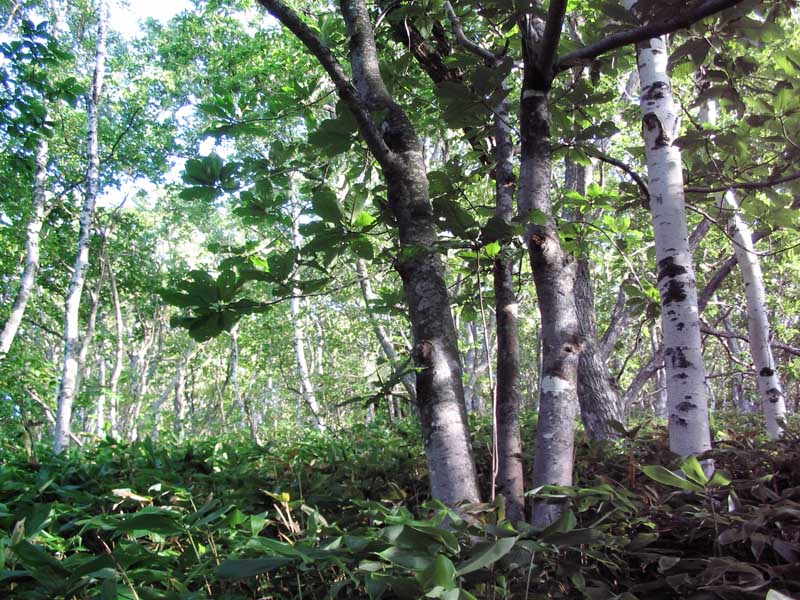
Deciduous forest in Kunashir (100 m elev.) with Magnolia, Quercus, Fraxinus, Betula, Phellodendron and Sasa forest floor
Poor epiphytic vegetation of Pylaisia and Boulaya in Quercus forest with scattered Abies in Kunashir (100 m elev.)
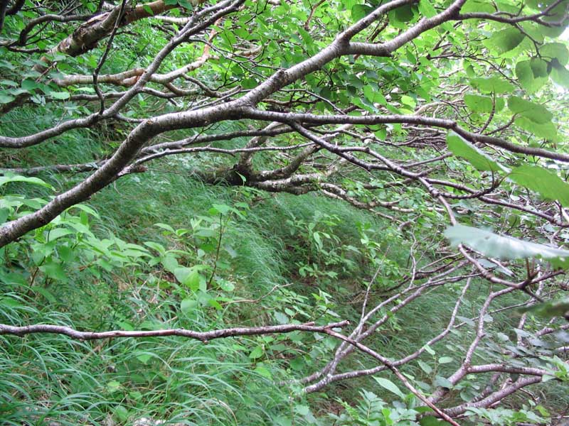
Betula and Alnus community near sea coast in Iturup
Foothill of Ruruj Mountain at about sea level; note meadow vegetation, Acer eflin forest and then Abies forest on slope
Mixed forest in Kunashir (50 m elev.); Abies, Fraxinus, Tilia, lianas of Toxicodendron and Actidinia and Sasa forest floor
Mixed forest in Kunashir (50 m elev.) with abundant Abies and Sasa
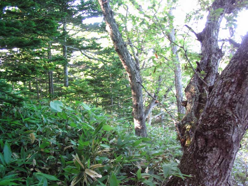
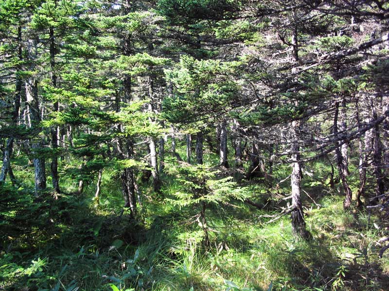
Coniferous forest in Kunashir (400 m elev.) with evergreen Skimmia and deciduous Philadelphus; bryophytes are few, mostly on tree bases
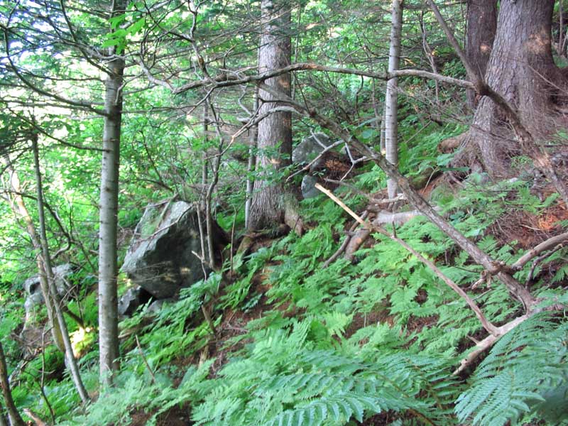
Relatively dark and dry Abies forest on steep slope in Kunashir (200 m elev.)
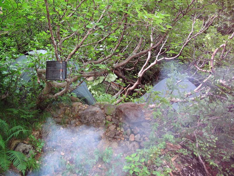
Epixylic communities in coniferous forest in Iturup
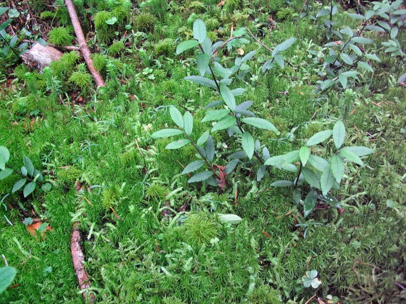
Moss cover typical for Picea forest in Kunashir (150 m elev.) composed of Pleurozium, Hylocomium, Pleuroziopsis, Dicranum majus and Plagiothecium euryphyllum; small shrub is Ilex sugerokii
Picea glehnii forest with Sphagnum carpuet, Kunashir 30 m elev.
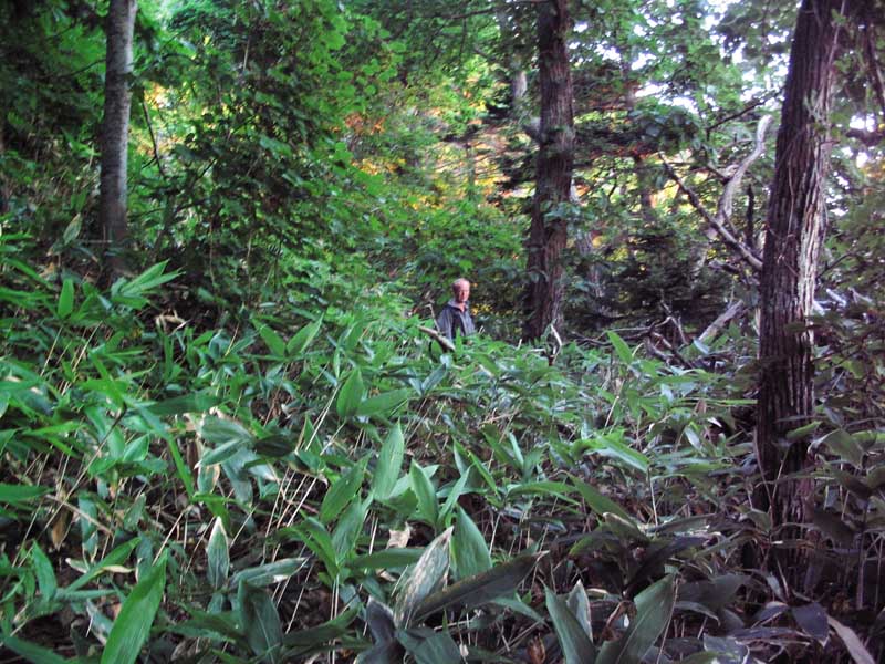
Sasa vegetation with scattered Hydrangea paniculata, Kunashir, 150 m elev.
Alnus forest with Sasa understory in Iturup
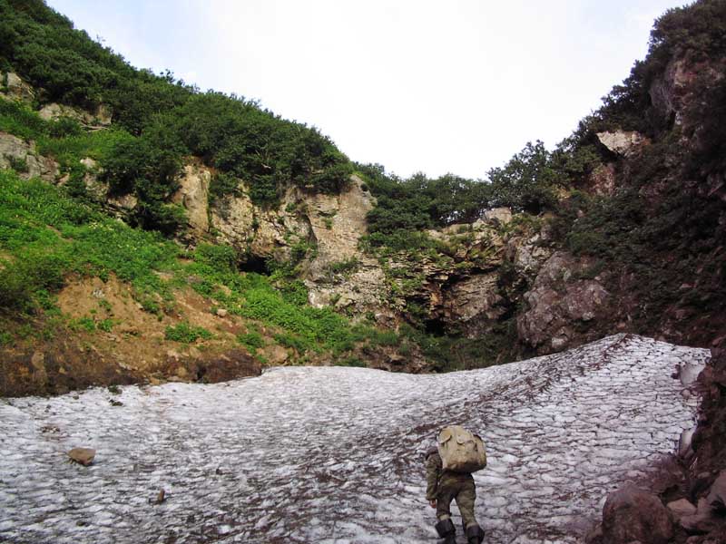
Semi-permanent snow-field in valley under temporary waterfall, Kunashir 600 m elev.
Alnus-fruticosa in stream valley in Kunashir, 900 m elev.
Betula ermanii elfin forest in Kunashir, 1200 m elev.
Pinus pumila in Kunashir, 1250 m elev.
Pinus pumila and Alnus (Dusheckia) fruticosa vegetation near ridge top in Kunashir, 1300 m
Top of ridge of ancient volcano of Ruruj in Kunashir, 1350 m elev.
Notoro Mt. in Shikotan, 100 m elev., note Juniperus sargentii vegetation (deep green)
Juniperus sargentii in Shikotan, 100 m elev.
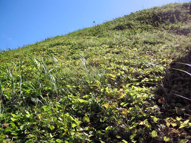
Tomari Mt. in Shikotan, ca. 150 m; note rather short-stemed Sasa that dominated in extensive areas
Slope strongly affected by winds, which results in tundroid vegetation with Anthelia juratzkana; Kunashir, 20 m elev., 2 km apart from Magnolia forest
Tundroid vegetation on top of Ploskaya Mt in Shikotan
Alpine vegetation near snow field in Bogatyr Range, Iturup Island
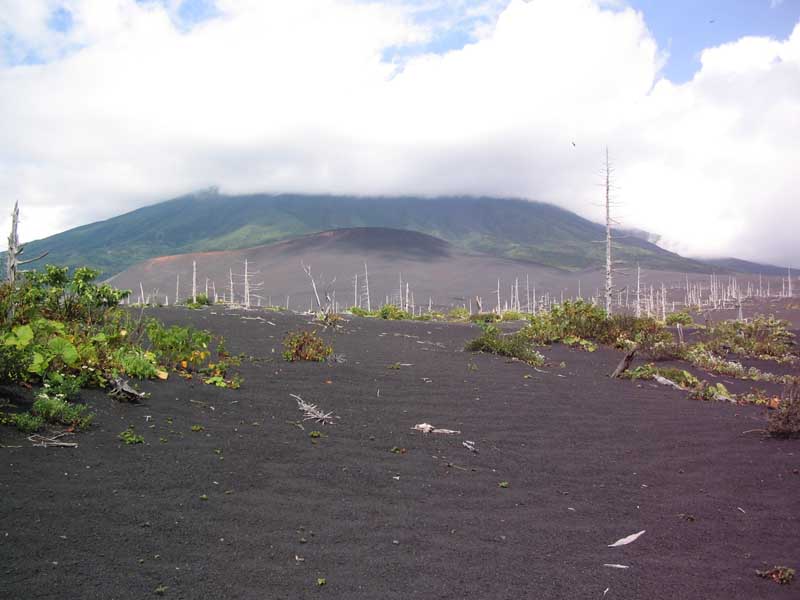
Tyatya Volcano in Kunashir, summit 1819 m elev.
Foothill of Tyatya Volcano; forest burned and buried by pyrocalastic deposits in 1973
Upper part of Tyatya Volcano, 1400 m elev., old clincer, habitat of Tetrodontium and Polytrichastrum sphaerocarpum
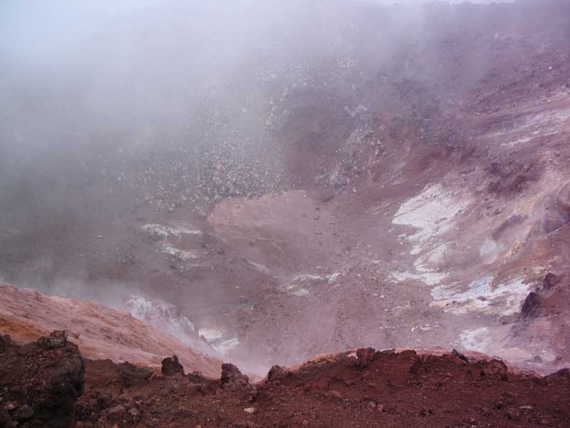
Crater of Tyatya Volcano
Tyatya crater rim (1800 m); soil surface is warm, with >60°C at depth of few cm; no hepatics and few mosses found, amonf them Bryum argenteum, Racomitrium lanuginosum and Trematodon longicollis
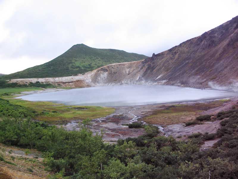
Kipyashee (meaning “boiling”) Lake with warm water in Kunashir, 150 m elev. (latest boiled out ca. hundred years ago)
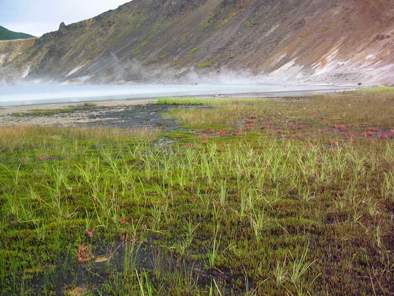
Kipyashee Lake bank, abundant are Dichodontium palustre and Polytrichum jensenii
Thernal spring, the only bryophyte occurring in water >30° is Plectocolea vulcanicola
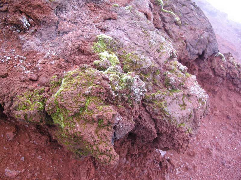
Fumarole field wuth crystalline sulphur and Plectocolea vulcanicola mat, in Kunashir, 20 m elev.JPG
| |
.JPG)
.JPG)
.JPG)
II.JPG)
.JPG)
.JPG)
.JPG)
.JPG)
.JPG)
.JPG)
.JPG)
.JPG)
.JPG)
.JPG)